How do we draw the coast?
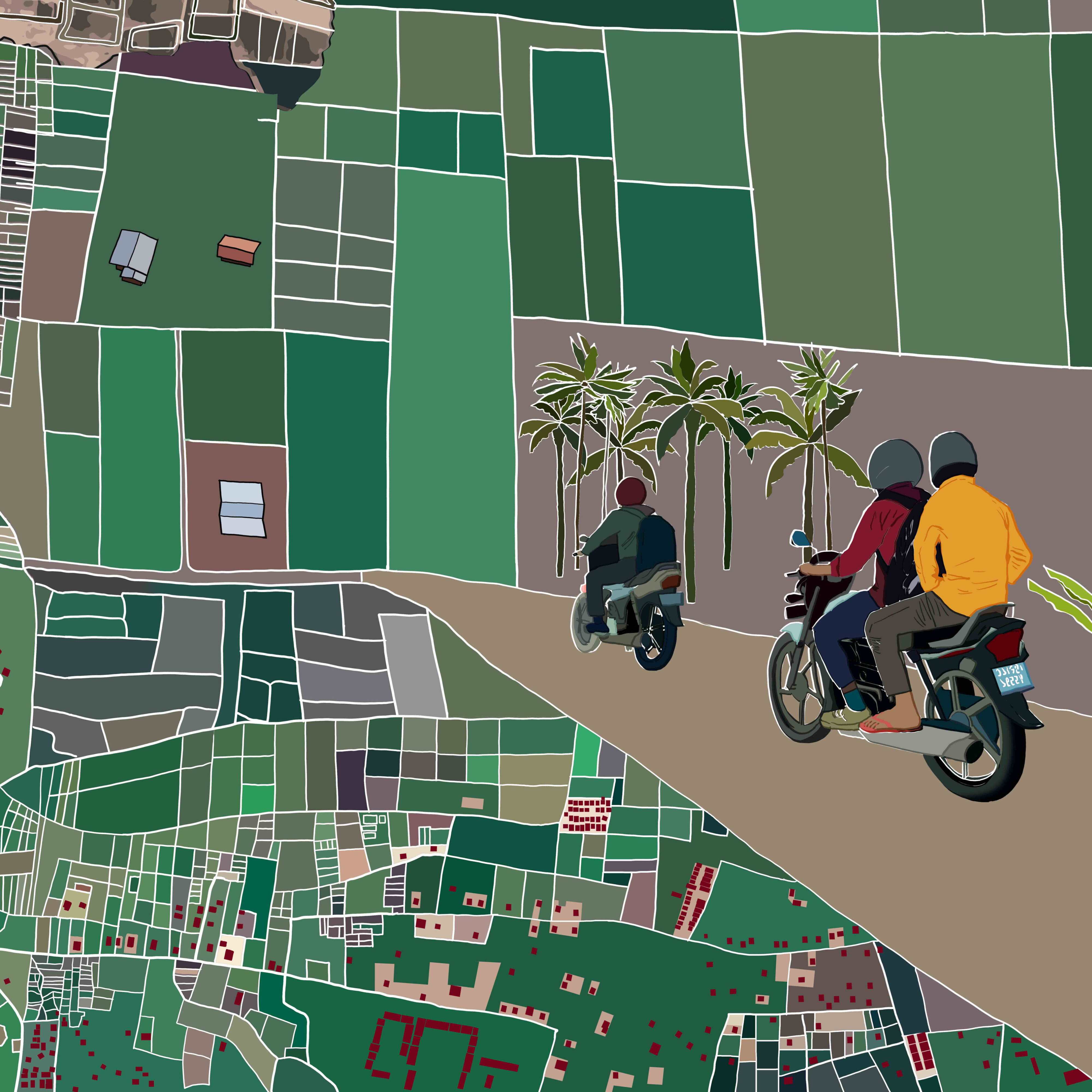
Contemporary cartography often reduces the coast to a single, unbroken line, oversimplifying a dynamic and complex zone of ecological and social interactions that shape coastal communities.
Today, as coastal hardening projects like land reclamation, seawalls, and industrial aquaculture transform the shoreline into a continuous, rigid boundary, we witness the isolation of wet and dry, sea and land. These hardened coasts erase the rich interstitial spaces where marginalized coastal communities and more-than-human lives coexist. How, then, can we reimagine and better understand the coast?
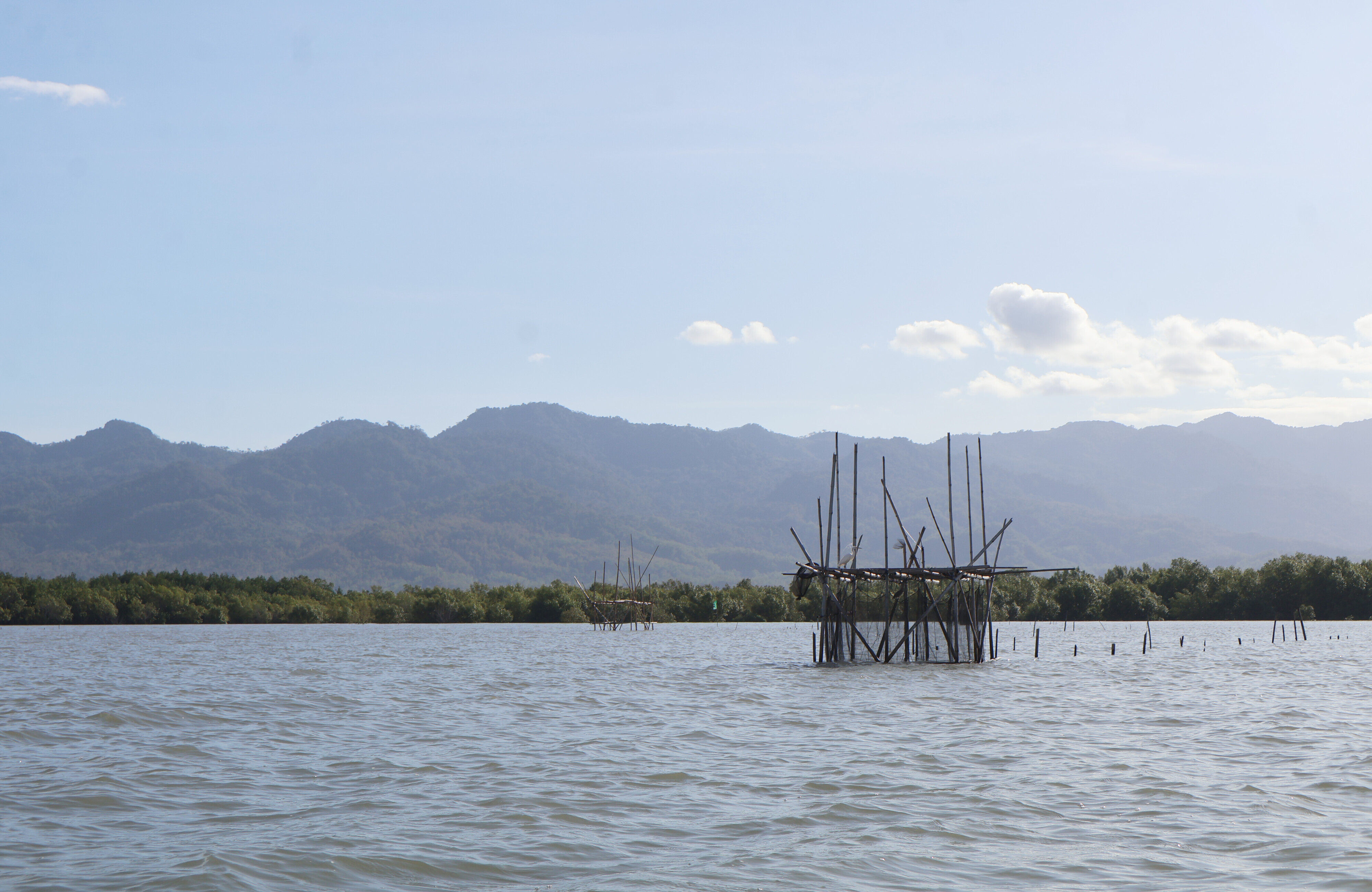
This project situates itself in Kupang, on Timor Island in Indonesia, and centers around the traditional fishing device known as the Sero as an example of life-sustaining practices. Crafted from locally sourced materials like Gewang palm (Corypha utan Lam.) leaves and mangrove wood, Sero works with the natural rhythms of ocean waves. Its handwoven panels, carefully designed for flexibility across diverse coastal conditions, feature small gaps that allow juvenile fish and shrimp to escape, fostering ecological regeneration.
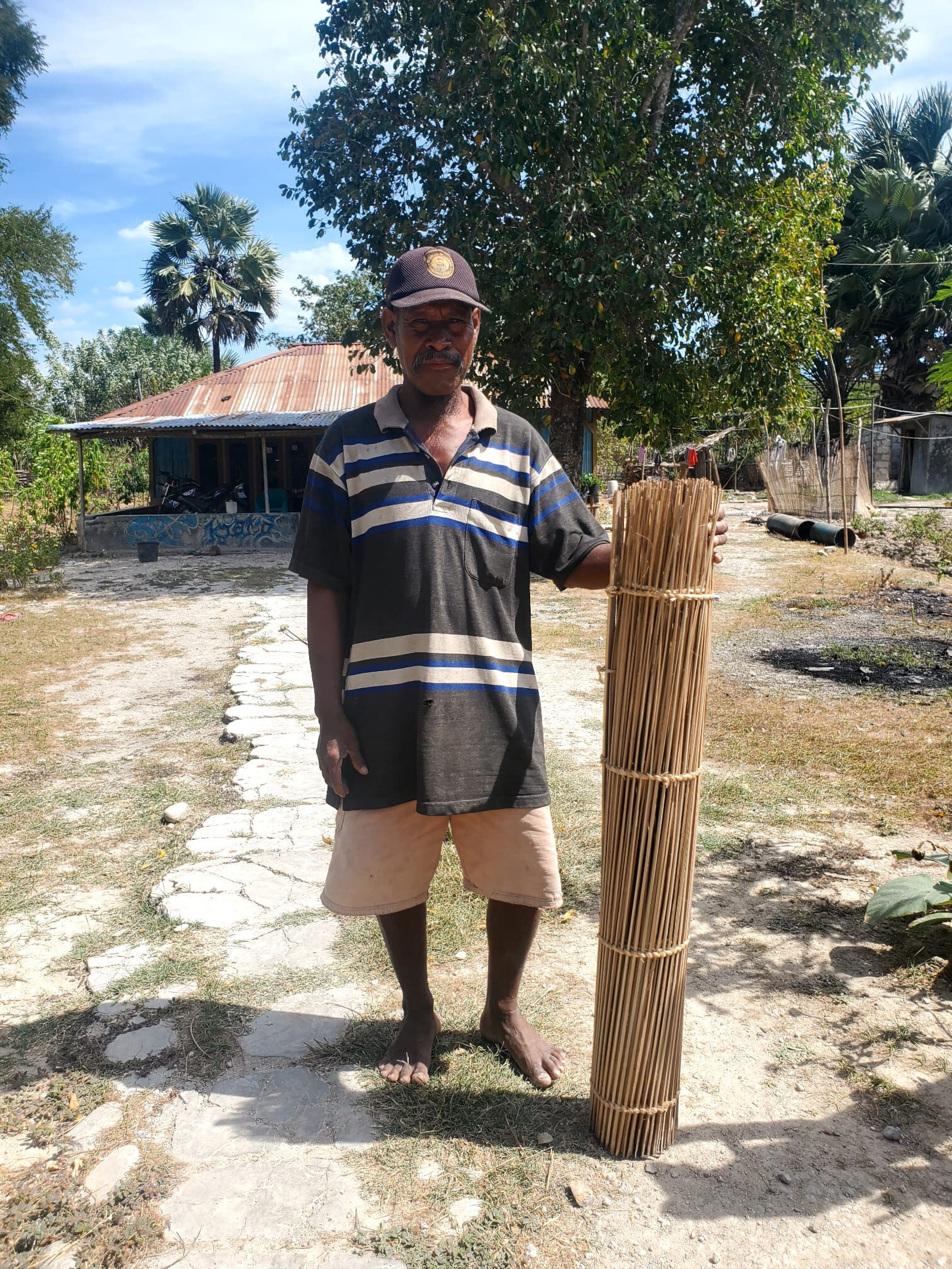
Through ethnographic fieldwork, the research follows the daily routines of fisherfolk in the village of Oli'o, who practice Sero-based fishing. By recording their spatial movements and activities on day-long fishing and foraging journeys, the project aims to capture a different depiction of the coast—not as a rigid, singular boundary, but as a vast, living zone where more-than-human lives are sustained and able to thrive.
